
Reshaping the Sky Commanding the Clouds
Filling the gap in high-altitude, high-speed weather modification · defining the low-altitude economy. With in-house high-speed turbojet UAVs and multi-drone swarm operations, AERORAIN puts every cloud under precise command.
- 11000mService Ceiling
- 500km/hMax. Level Speed
- 12 unitsLarge UAVs in Service
- 100%Proprietary IP
From High-Speed Turbojet to Swarm Operations
Two product lines span altitude layers and mission profiles: the YH-180D flies high-altitude cloud penetration, the delta-wing series covers long-endurance low-level seeding, and the YH-280A has flown China’s first multi-UAV swarm seeding operation.
-
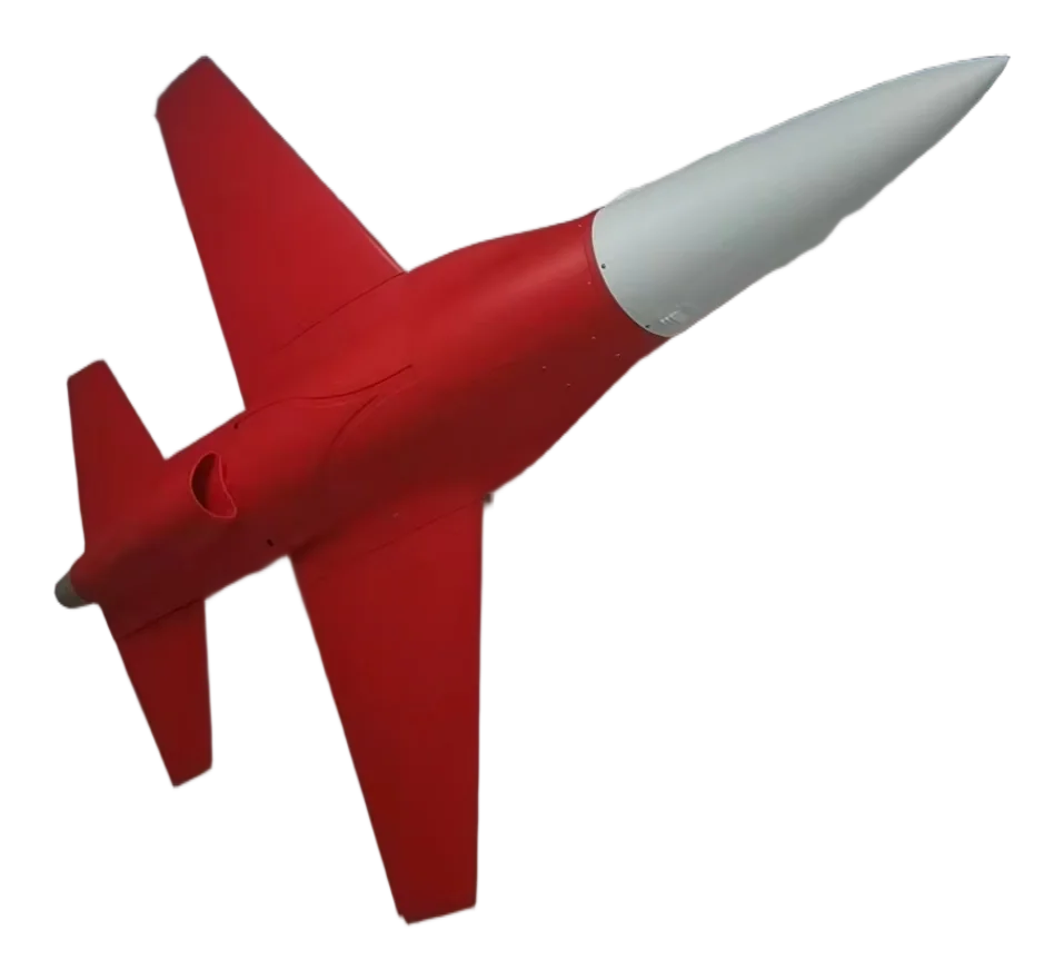 YH-180D · High-Speed
High-Speed Weather Modification UAV
100 kg-thrust turbojet and a modular belly payload bay — reach target clouds fast for high-frequency seeding sorties.
- Wingspan 3.96 m · MTOW 300 kg
- Service ceiling 11,000 m
- Max. level speed 500 km/h
- Modular payload bay, minutes-level reconfiguration
-
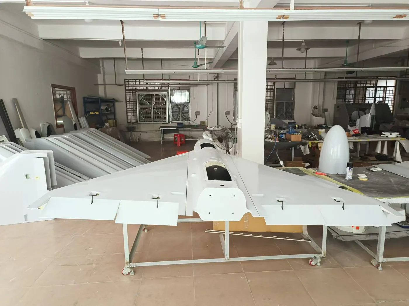 Mid-Low Speed · Delta Wing
Long-Endurance Seeding Platform
20 kg-class turbojet and piston delta-wing platforms with rocket-assisted launch and parachute recovery — built for runway-less field environments.
- Rocket-assisted launch · precision parachute recovery
- Runway-independent, rapid field deployment
- High-capacity flare seeding system
- Mission cost far below manned aviation
-
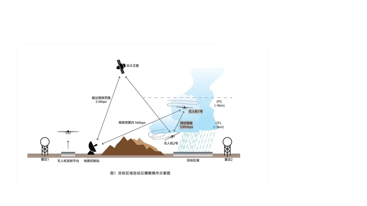 YH-280A · Swarm
Multi-UAV Swarm Operations
China’s first multi-UAV swarm weather-modification validation — swarm-control technology enables wide-area coordinated seeding in a single sortie.
- China’s First Multi-UAV Swarm Seeding Operation
- In-house swarm control & automated droneports
- 12 large UAVs in service
- Assembly facility at Hefei Aerospace Industrial Park
Four Mission Scenarios
From agricultural drought relief to emergency response — one UAV system for the full spectrum of meteorological services.
-
Weather Modification
Precision cloud-seeding operations supporting agriculture and water-resource management.
- Agricultural rain enhancement
- Reservoir replenishment
- Forest-fire-prevention rainfall
- Hail suppression & disaster mitigation
-
Atmospheric Sensing
Continuous vertical profiling delivering first-hand data for research and forecasting.
- Vertical atmospheric profiling
- Aerosol & cloud microphysics observation
- Regional meteorological field campaigns
- Real-time data downlink
-
Emergency Response
Rapid response and strong wind resistance for search-and-rescue and airdrop missions.
- Maritime SAR & airdrop within 300 km
- Typhoon tracking & sensor delivery
- Anti-smuggling & target tracking
- All-weather rapid response
-
Environmental Monitoring
Routine aerial patrols safeguarding ecosystems and industrial safety.
- Ecological inspections
- Pollution-source tracking
- Mining & forestry monitoring
- Long-endurance standing watch
Real Operations Across Seven Provinces
From the Tengger Desert to the Hulunbuir grasslands, YH-series UAVs fly routine weather-modification operations in real conditions.
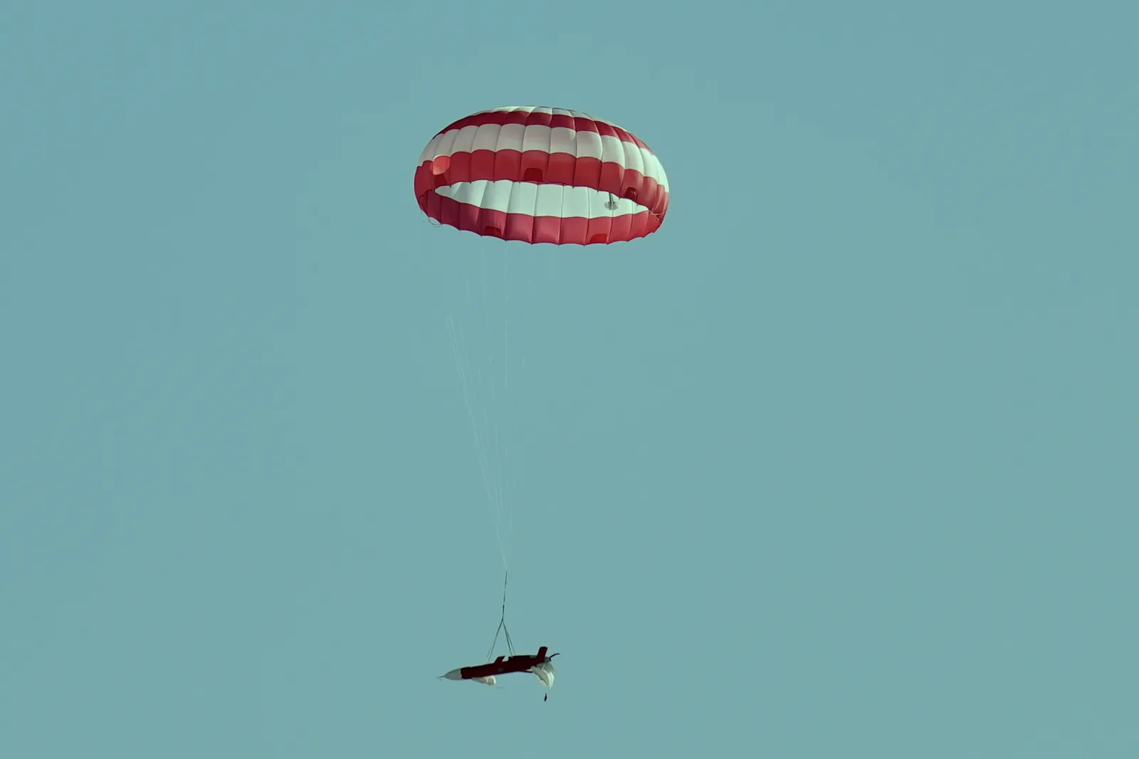
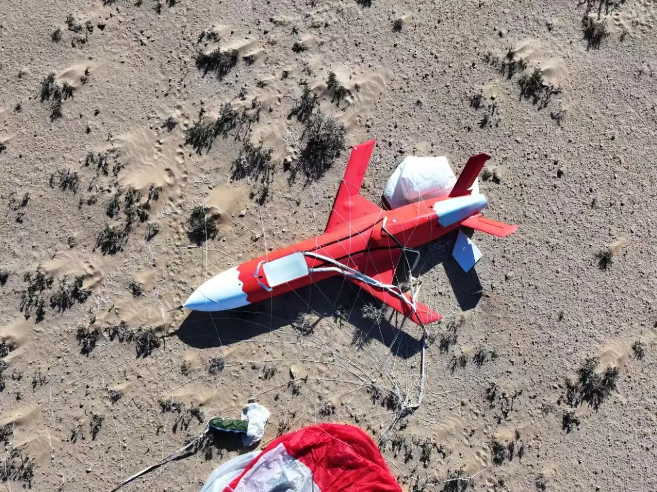
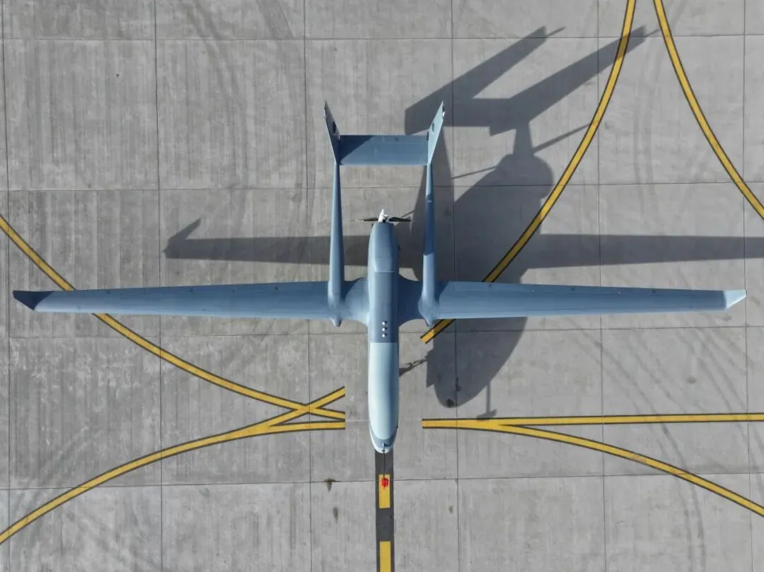
Field photos: YH-series weather-modification UAVs at work
Research Meets Authority
Joint laboratories with meteorological universities and institutes, working hand-in-hand with bureau weather-modification programs. The team brings national 863 Program experts, meteorology doctoral supervisors and chief weather-modification scientists — technology proven through years of field operations.
- Partnerships with weather-modification centers
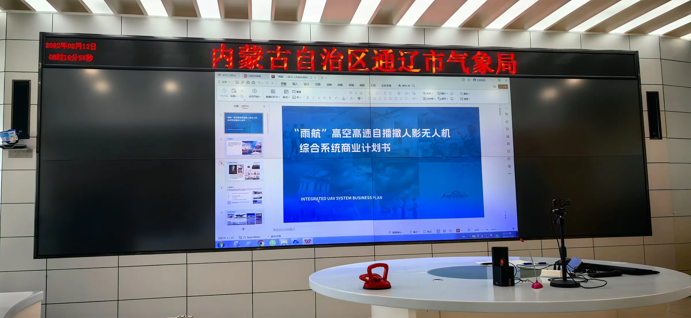
- Signed with Inner Mongolia & Shaanxi meteorological bureaus
- 10+ city-level partnerships
- Participating in WMO Asian regional programs
AERORAIN Updates
Product progress, field operations and industry insight.
Make Every Flight Count
Whether you represent a meteorological bureau, an emergency agency or the general-aviation industry, we look forward to shaping the next chapter of weather modification together.
Contact Us