
Mission-Centered Operations
From radar-identified target clouds to on-ground effect evaluation — end-to-end UAV solutions for every meteorological mission.
Delivering Seeding Agents Where Clouds Need Them
For drought relief, reservoir replenishment and forest-fire prevention, YH platforms replace anti-aircraft guns and manned aircraft with high-speed cloud penetration and precision seeding.
-
Agricultural rain enhancement
Rain supplementation during critical growth stages underpins food security. Mission windows are locked precisely — multiple seeding sorties per day.
-
Reservoir replenishment
Systematic seeding over catchments and upstream reservoirs, concentrated before the dry season to boost water-storage capacity.
-
Forest Fire Prevention
Preventive rainfall during high-risk periods and precipitation support near fire lines, with EO pods providing simultaneous reconnaissance.
A Five-Step Loop, Traceable End to End
- Radar DetectionWeather radar locks target clouds and identifies seeding windows
- Route PlanningPenetration routes auto-generated from wind fields and cloud structure
- Autonomous LaunchOne-touch dispatch; the UAV climbs autonomously to working altitude
- In-Cloud SeedingFlares ignite on schedule, releasing agents at precise points and doses
- Effect EvaluationCloud-probe and rain-gauge data cross-validate the operation
Continuous Vertical Profiling
With cloud spectrometers, LWC probes and other dedicated science payloads, YH platforms fly repeat transects to capture the vertical structure of liquid water, droplet spectra and aerosols — a dimension ground radar and one-shot radiosondes can hardly provide.
- Continuous cloud-microphysics sampling
- Regional meteorological field campaigns
- Real-time data downlink
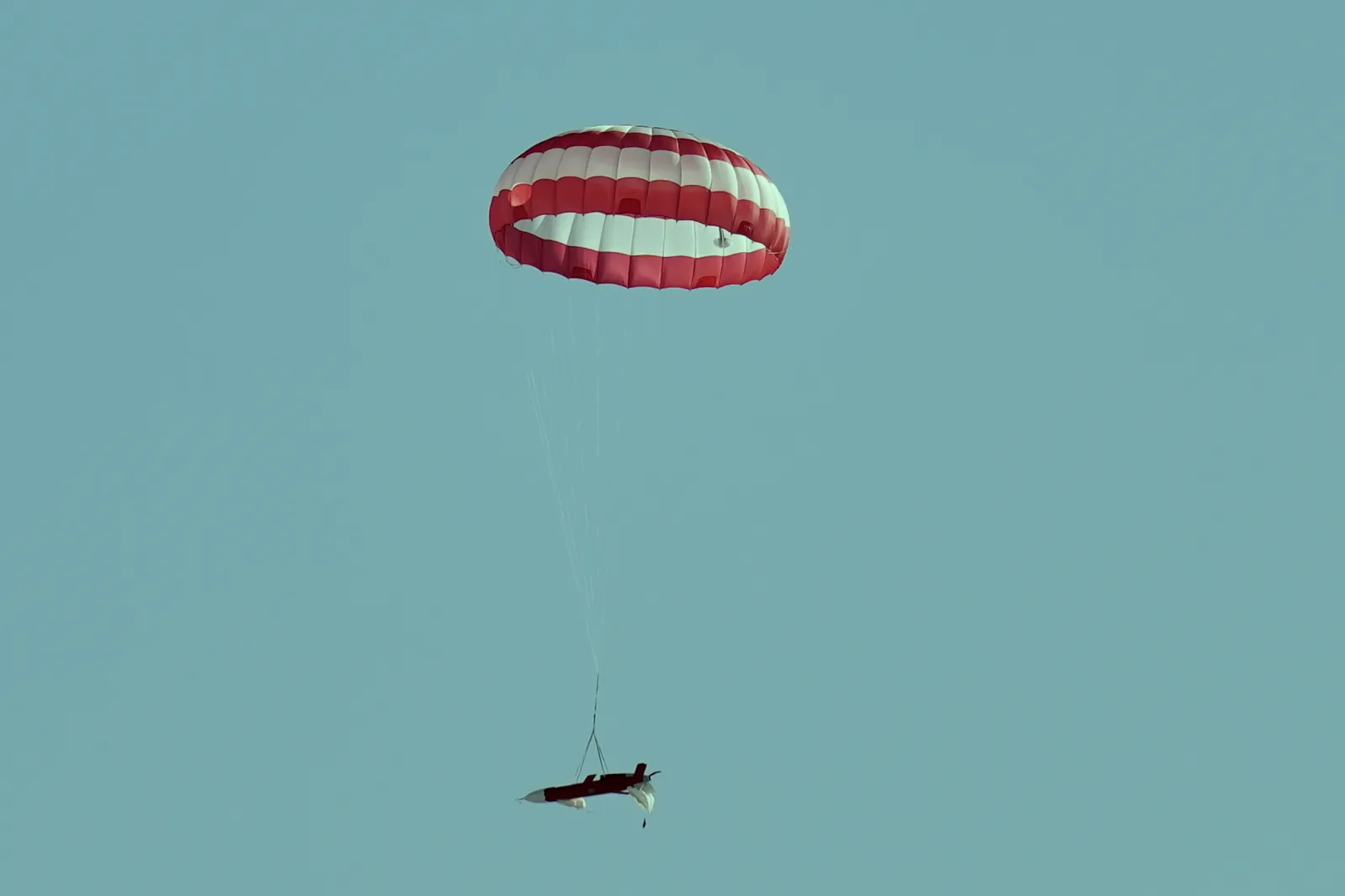
An All-Weather Air Support Force
-
Emergency Response
Fast response and strong wind resistance for maritime search-and-rescue, airdrop and tracking within 300 km, plus typhoon reconnaissance and sensor delivery.
- Maritime SAR & airdrop within 300 km
- Typhoon tracking & sensor delivery
- Anti-smuggling & target tracking
- All-weather rapid response
-
Environmental Monitoring
Routine aerial patrols over mines, forests and river basins; pollution sources tracked and located, monitoring data auto-archived into time series.
- Routine ecological patrols
- Pollution-source tracking
- Dedicated mining & forestry monitoring
- Long-endurance continuous watch
From Tengger to Hulunbuir
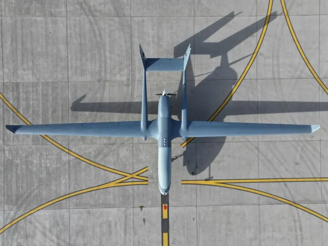
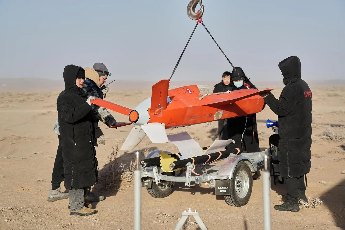
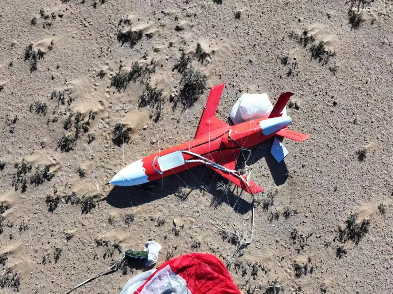
Field photos: YH-series operations & testing